India – Nepal: Known for Peace and Friendship
Dr. Sunil Nautiyal
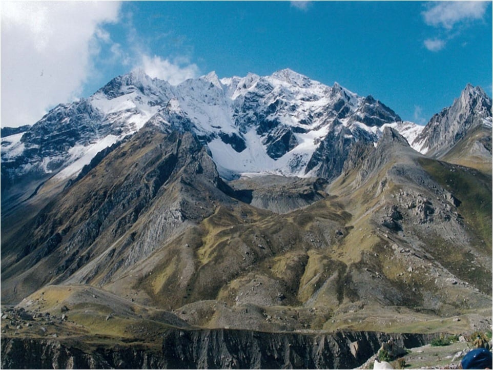
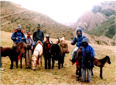
My ecological expedition to Kalapani – Lipulekh – Limpiyadhura, Om Parvat, Adi-Kailash in 2003, posting some photographs of that scholarly tour.
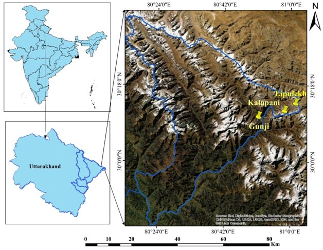
The mode of travel was only by foot and expedition started from Dharchula (900m asl) to explore the “socio-ecological and cultural landscapes of Gunji village (3200m asl), Kuti village (3900m asl), Lipulekh pass (5200m asl)– Om – Parvat – Limpiyadhura – Adi Kailash (6000m asl).” Kalapani – Lipulekh – Limpiyadhura – these are the places where I had been to do some research on vegetation dynamics and environmental change. Furthermore, in 2003 we, a group of researchers, embarked on a successful expedition from Dharchula to Garbyang, Gunji-Kalapani- OM Parvat, Adi-Kailash, and Lipulekh pass (Kailash Mansarovar). This was done to explore the biological diversity in unexplored regions of India located at the boundary of Nepal and China occupied Tibet.
The mode of travel was only by foot and expedition started from Dharchula (900m asl) to explore the “socio-ecological and cultural landscapes of Gunji village (3200m asl), Kuti village (3900m asl), Lipulekh pass (5200m asl)– Om – Parvat – Limpiyadhura – Adi Kailash (6000m asl).” Kalapani – Lipulekh – Limpiyadhura – these are the places where I had been to do some research on vegetation dynamics and environmental change. Furthermore, in 2003 we, a group of researchers, embarked on a successful expedition from Dharchula to Garbyang, Gunji-Kalapani- OM Parvat, Adi-Kailash, and Lipulekh pass (Kailash Mansarovar). This was done to explore the biological diversity in unexplored regions of India located at the boundary of Nepal and China occupied Tibet.
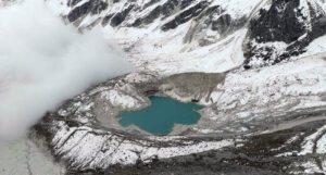
Nowadays these three names (Kalapani – Lipulekh – Limpiyadhura ) are very popular in social, electronic, and print media. The discussion stated with Nepal’s claim on Indian land which is located in Pithoragarh district of Uttarakhand (my home state). The controversy started with Nepal’s unrequited belief that the border of their country is demarcated with respect to the Mahakali river which originates at Kalapani. During the research period, the area was visited and explored for ecological study and seen the source of Mahakhali at Kalapani where exactly the river originates.
The name Kalapani – literally means – black –water. When we went to the source, we found the water so dark blue that at the first appearance it looked black (hence river was named Kali or Mahakali). High-resolution satellite data and contour maps were developed to understand the source of origin of the Mahakali river at Kalapani and which is exactly what India respectfully accepted and delineated it as the border with mutual consent (here I am not talking about colonial India, to make it short).
Unfortunately, the current leadership of Nepal has completely forgotten the century cordiality that is sacred to both of us. I can only hope that this misunderstanding will not have a permanent impact (-ve) on the relationship between our countries.
References (our research articles):
1. Ethnobotanical notes on the exploration of germplasm in OM Parvat and Adi – Kailash Mountains in Uttaranchal.
2. A botanical exploration of scientists in unexplored areas of Himalaya
